

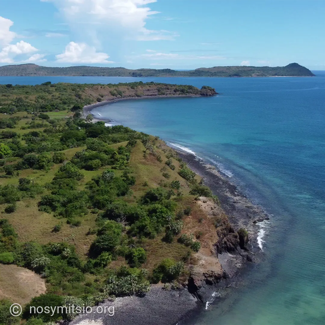
The Mitsio archipelago comprises 16 islands and a few scattered rocks
|
|
Volcanic origins of the archipelago
The Mitsio archipelago is the result of ancient volcanic activity that shaped the islands’ current landscape. These successive eruptions created a group of islands with rugged terrain and indented coastlines. The basaltic nature of the outcrops bears witness to this igneous origin. This explains the presence of remarkable geological formations and the characteristic rocky morphology of many of the islets. Sea conditions around the archipelago vary considerably depending on the seasons and the pattern of ocean currents.
The archipelago is mainly explored by boat. The inter-island excursions allow you to sail between several islands in a single day, with stops at beaches where you may sometimes be the only people there.
Grande Mitsio, the main island, is home to almost the entire population of the archipelago. There are only three inhabited islands: Grande Mitsio, Nosy Mangnio and Nosy Tsarabanjina.
In fact, it is on Grande Mitsio that most of the accommodation options in the archipelago are located, including campsites, bungalows and private lodges.
Grande Mitsio: the main island
Area: 29.7 km²
Highest point: 170 m
Grande Mitsio is the largest island in the archipelago, measuring 13 km in length and ranging from 500 m at its narrowest point to 3 km in width. Several fishing villages are dotted along its coastline. Grande Mitsio is mainly inhabited by Antakarana fishermen and herders.
The economy of Grande Mitsio is based on fishing and an agro-pastoral system combining livestock farming and subsistence farming.
Fishing: the inhabitants use traditional canoes to navigate between the islands and reach the fishing grounds.
Agriculture: rice, cassava.
Livestock farming: goat and zebu farming are the main sources of wealth. Goats are particularly well suited to island conditions.
The south-western tip of Grande Mitsio features a remarkable geological formation: prismatic basalt columns that rise from sea level to a height of around thirty metres.. These greyish-brown rock structures have a regular hexagonal geometry in cross-section.
Nosy Lava: the northern island
Area: 4.2 km²
Highest point: 150 m
Nosy Lava is situated in the northern part of the Mitsio archipelago. This volcanic island has a rugged terrain with predominantly rocky and steep coastlines. Dense vegetation covers much of the island.
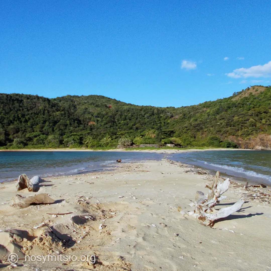
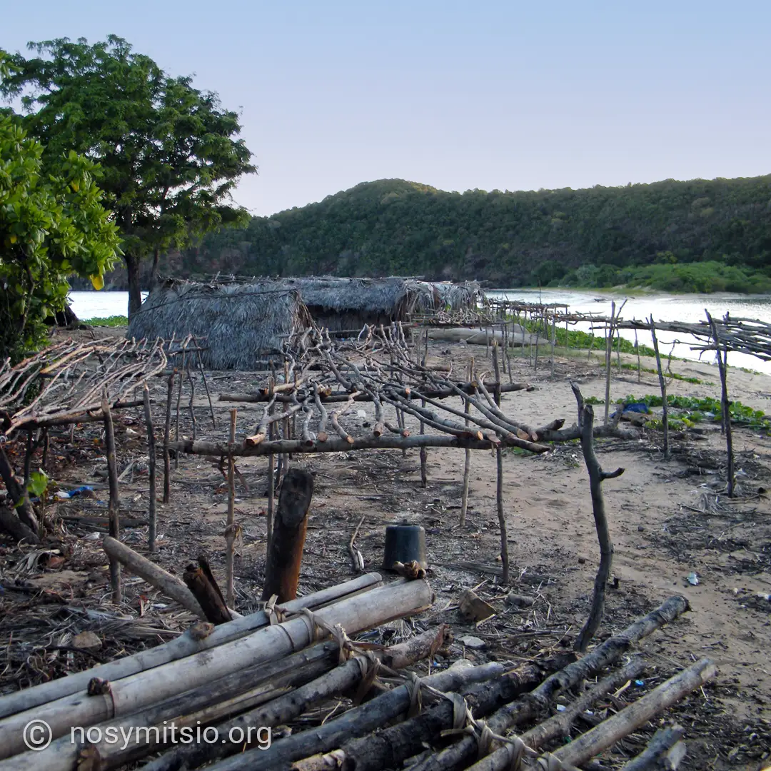
The waters around Nosy Lava are a popular fishing ground. The fish-rich waters attract numerous pelagic species such as trevally, skipjack tuna and barracuda, which frequent these areas to feed.
On this uninhabited island, fishermen occasionally set up camp, much like nomads of the sea. In the past, shark fishing here was very lucrative. Today, they still catch sharks and other pelagic fish, but the catches are not as substantial. They stay for a few weeks, set up camp, dry their catch in the sun, and then set sail again.
Nosy Lava
A rugged landscape with predominantly rocky coastlinesNosy Ankarea: the archipelago’s watchtower
Area: 78 ha
Elevation: 240 m
Situated 3.7 km (2 nautical miles) off the coast of Grande Mitsio’s largest beach, Nosy Ankarea is the highest point in the archipelago at 240 metres above sea level. This volcanic island has a distinctive topography: a massive structure with steep cliffs that contrasts with the white sandy beaches lining its southern coast.
The geography of Nosy Ankarea reveals two distinct faces. The northern side remains wild and rugged, difficult to access, whilst the southern coastline offers sheltered anchorage areas in shallow, crystal-clear waters, with a depth of around 10 metres between the island and Grande Mitsio.
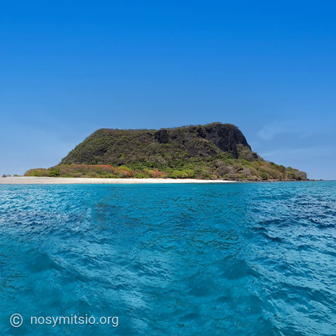
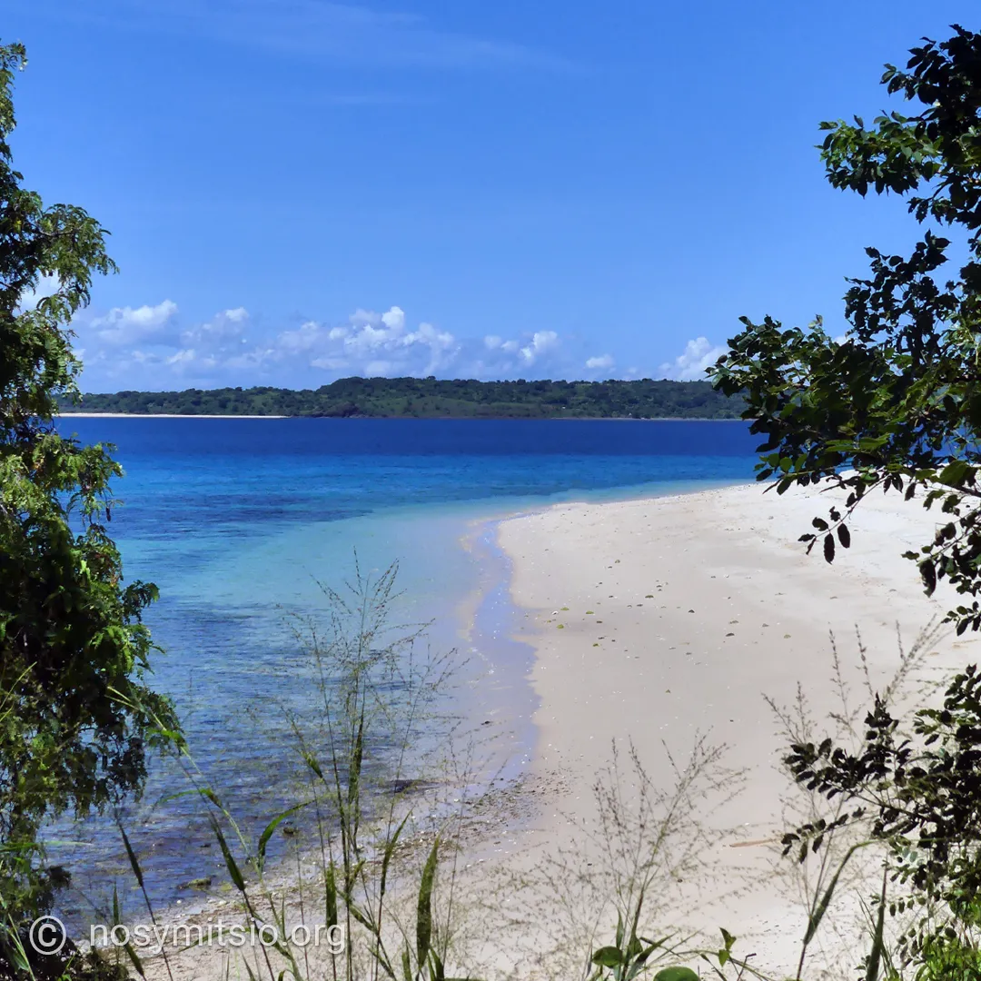
A path leads to the summit, where a population of endemic Aloe vera thrives. Ankarea’s flora is characterised by xerophilous vegetation remarkably well-adapted to arid conditions. The western slopes are home to a concentration of Pachypodium, Hildegardia and Euphorbia which colonise the vertical rock faces. This succulent vegetation forms a unique ecosystem.
From the highest point, the panorama takes in the entire Mitsio archipelago and the surrounding reefs, offering an exceptional view of the region’s island geography.
Nosy Antaly & NOSY Kajohy
Area of Antaly: 50 ha
Maximum altitude: 66 m
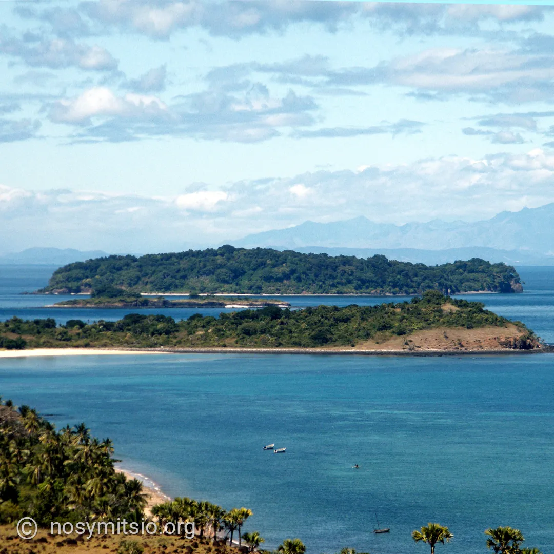
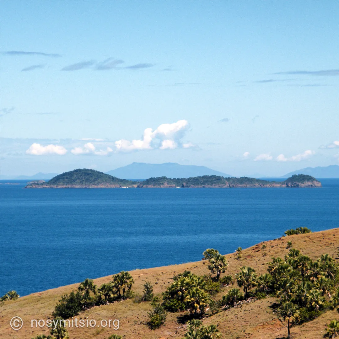
Nosy Kajohy is situated 1.5 km from the southern tip of Grande Mitsio. From the southern tip of Grande Mitsio, you can see the small island of Nosy Kajohy, and 1.2 km behind it lies Nosy Antaly.
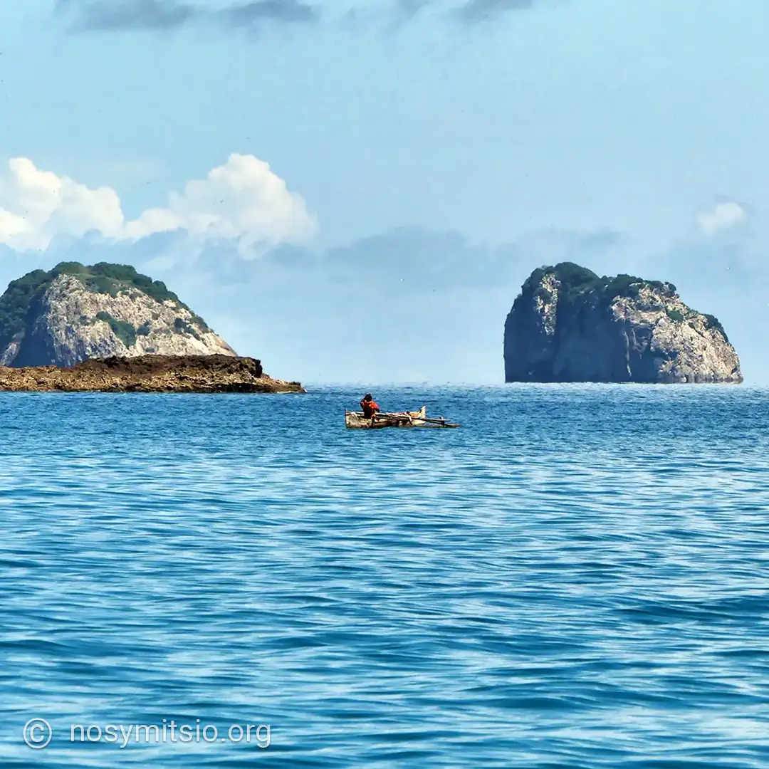
See photo: In the foreground, the southern tip of Grande Mitsio; Nosy Kajohy in the middle ground; and Nosy Antaly behind it.
Nosy Toloho
Area: 45 ha
Maximum altitude: 60 m
Nosy Tsarabanjina
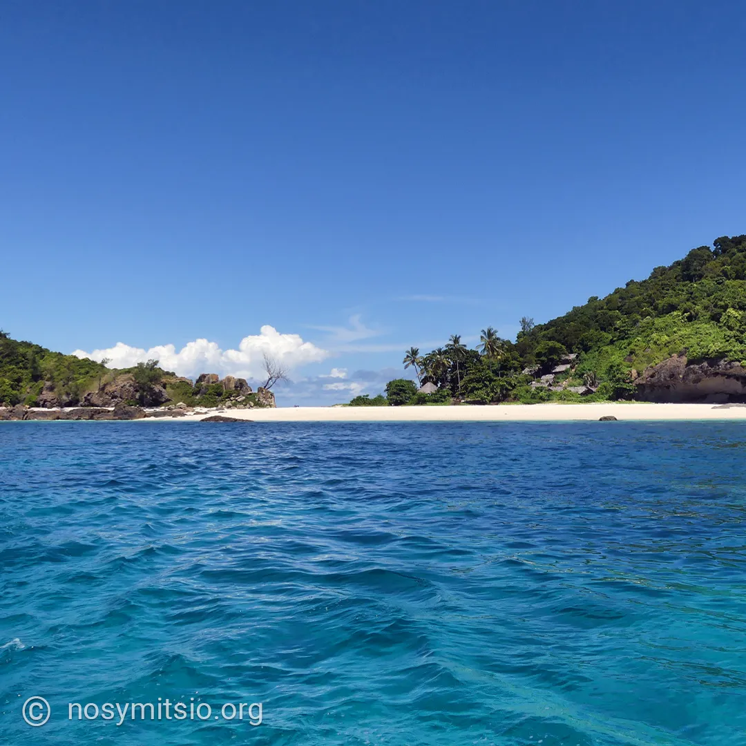
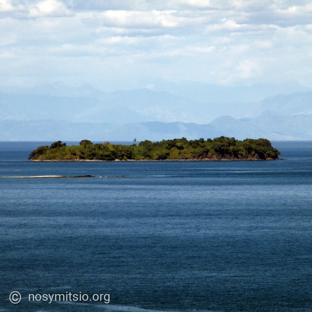
Tsarabanjina, situated south of Grande Mitsio and surrounded by nine rocks, boasts magnificent beaches and exotic vegetation.
Nosy Tsitempevina
Area: 16 ha
Maximum altitude: 35 m
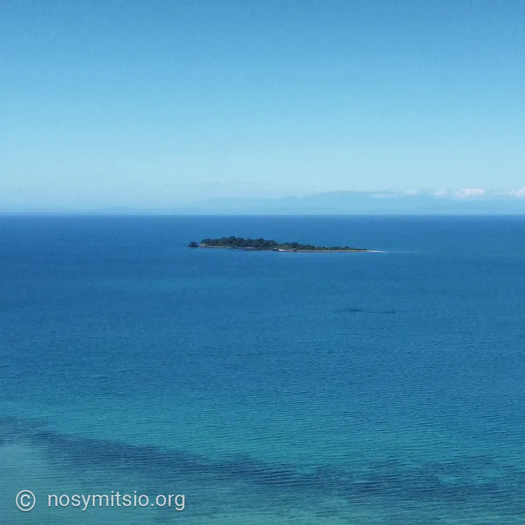
Nosy Vazoana
Area: 8 ha
Maximum altitude: 18 m
This very flat island is situated 2 kilometres from Grande Mitsio.
Nosy Fisaka
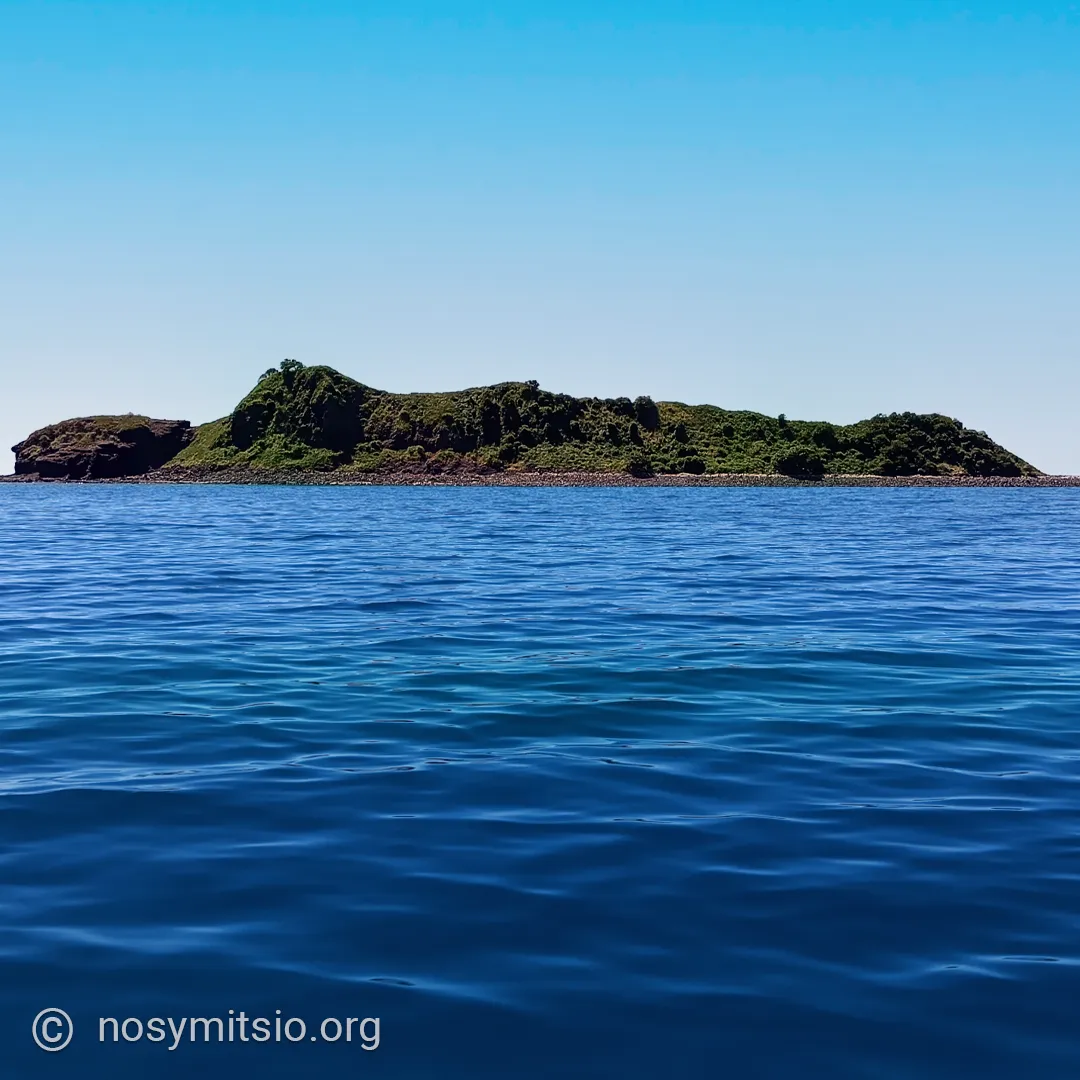
It lies between the northern tip of Grande Mitsio and Nosy Ankarea. Depending on where you stand when looking at the island, its shape resembles a reclining woman; for the inhabitants of Grande Mitsio, it is known as ‘the reclining woman’.
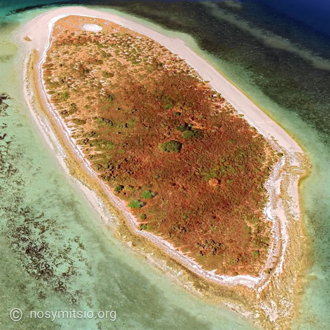
Nosy Mangnio
Area: 16 ha
Maximum altitude: less than 10 m
It is situated between Grande Mitsio and the mainland of Madagascar.
Nosy Zanmimandry
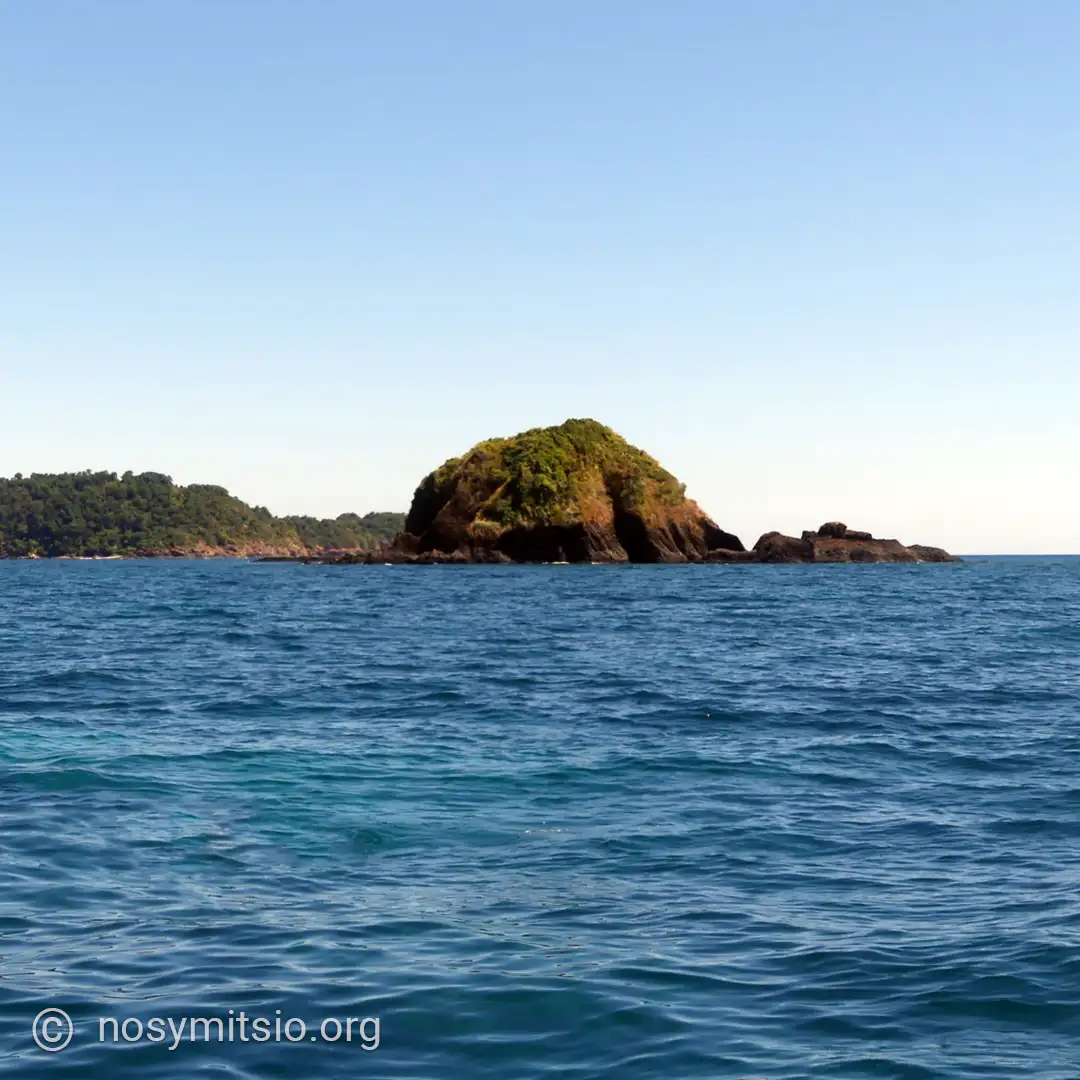
The Malagasy verb mandry (‘to lie down’), as the silhouette of this island, seen from the sea, resembles a person lying down with a small, round tummy.
The Four Brothers
The Four Brothers are a remarkable group of rocky outcrops rising from the ocean.
- Brother 1 – Beangovo
- Brother 2 – Betalinjona
- Brother 3 – Betanihazo
- Brother 4 – Antsoha
When approaching from Nosy Be, Les Quatre Frères can, in the imagination, evoke ‘the gates of the archipelago’.
The seabirds of Nosy Mitsio
The frigatebird, the brown booby, the fish eagle...